It’s a tale of two Indias right now. While the northern mountains are blanketed in early winter snow, the southern states are bracing for severe storms. On November 6, 2025, the weather patterns split dramatically across the country, driven by distinct meteorological systems affecting millions.
In the north, a powerful Western Disturbance has triggered snowfall and freezing temperatures in high-altitude regions. Meanwhile, a trough system stretching from the Bay of Bengal to Kerala is dumping heavy rains with thunderstorms in the south. The contrast is stark: shivering commuters in Delhi versus flood alerts in Tamil Nadu.
Cold Wave Grips the North
The primary driver in the north is the Western Disturbance, an extra-tropical storm that originates over the Mediterranean Sea and moves eastward into South Asia. It’s currently active over northern India, extending up to higher altitudes. This system is responsible for the sudden drop in temperature and precipitation in the Himalayan belt.
In Jammu and Kashmir, Himachal Pradesh, and Uttarakhand, light rain has turned to snow at higher elevations. Reports confirm snowfall in key pilgrimage sites like Badrinath and Kedarnath. In Chamoli district, multiple areas recorded significant accumulation. The impact isn’t just scenic; it’s functional. Temperatures in these regions have plummeted, bringing biting cold winds that locals describe as "chilling" even before midday.
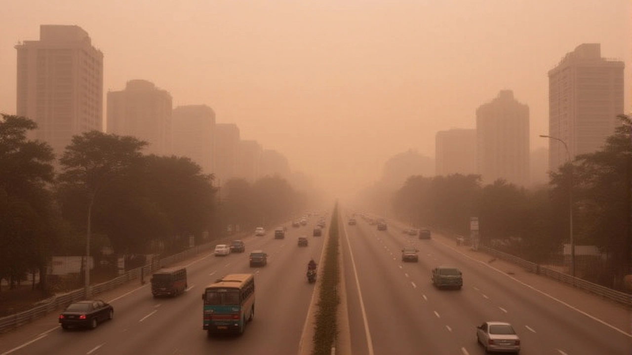
The ripple effect reaches down to the plains. In Delhi-NCR, the weather mood shifted overnight. Thick fog enveloped the capital by morning, reducing visibility significantly. Winds blew at speeds of around 15 km/h, which helped disperse some pollutants, but the air quality remains poor. According to the Central Pollution Control Board (CPCB), the Air Quality Index (AQI) stood at 262 at 7:00 AM—classified as "Poor." While this is a slight improvement from previous days due to surface winds, it’s still hazardous for sensitive groups.
The India Meteorological Department (IMD) forecasts maximum temperatures in Delhi to hover around 29°C, with minimums dropping to 15°C. More importantly, they warn of an additional 3-5°C temperature drop across Northwest India, including Punjab, Haryana, Rajasthan, and Western UP. If you’re planning travel in these regions, pack layers. The cold will be felt most sharply in the mornings and late evenings.
Storm Systems Batter the South
While the north freezes, the south is drowning. A trough system extending from the southwest Bay of Bengal through interior Tamil Nadu to North Kerala is keeping the weather highly active. Coupled with a cyclonic circulation in the Bay of Bengal, this setup is generating intense rainfall.
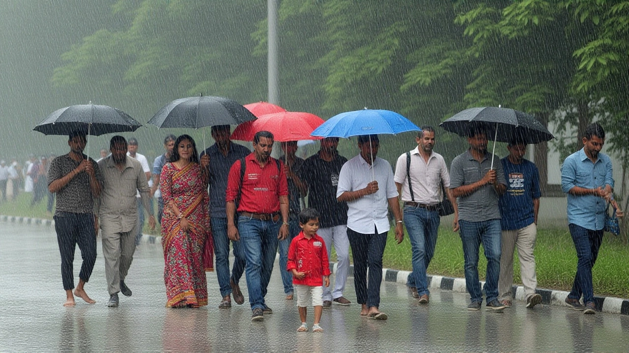
The IMD has issued warnings for heavy to very heavy rain accompanied by thunder and lightning in parts of Tamil Nadu, Puducherry, Karaikal, Kerala, Southern Rayalaseema, and Coastal Andhra Pradesh. Rainfall estimates range from 65.5 mm to 115.5 mm in a 24-hour period. That’s not just a shower; that’s potential flooding territory.
Authorities are particularly concerned about lightning strikes alongside the deluge. Although specific damage figures aren’t available yet, the combination of high wind gusts and electrical activity poses a risk to power infrastructure and outdoor activities. Residents in coastal districts are advised to avoid unnecessary travel and secure loose roofing materials.
Eastern Coast Under Watch
The situation in Eastern India is slightly less volatile but still requires attention. A low-pressure area that formed near the North-East Bay of Bengal and Bangladesh coast has weakened. However, the associated cyclonic circulation persists over the East-Central and North-East Bay of Bengal.
This means scattered light to moderate rainfall will continue in parts of Odisha, West Bengal, and Andhra Pradesh. While the immediate threat of a major storm has diminished, the skies remain overcast, and sporadic showers are expected. Fishermen in these coastal zones have been advised to exercise caution until the system fully dissipates.
Long-Term Climate Concerns
Beyond today’s immediate weather, there’s a broader conversation happening among climatologists. Scientists are raising alarms about a potential "Godzilla El Niño" event in 2026. El Niño is a climate pattern characterized by warming ocean surface temperatures in the central and eastern tropical Pacific Ocean, which can disrupt global weather patterns.
If this prediction holds true, it could lead to more extreme weather events globally, including altered monsoon patterns in India. While this doesn’t change tomorrow’s forecast, it highlights why accurate, real-time monitoring by agencies like the IMD is crucial. The current Western Disturbance and southern troughs are part of the complex interplay of global climate forces that scientists are trying to model better.

What Should You Do?
For those in the North: Dress warmly. The fog and cold will persist through the week. Check AQI levels before heading out, especially if you have respiratory issues. Drive cautiously due to reduced visibility.
For those in the South: Stay indoors during peak rainfall hours. Avoid open fields and tall trees due to lightning risks. Keep emergency kits ready in case of waterlogging or power outages. Monitor local news for updated evacuation orders if necessary.
Frequently Asked Questions
Why is it snowing in the Himalayas in November?
Snowfall in November is caused by a Western Disturbance, an extra-tropical storm system moving from the west. When this moist air mass hits the cold, high-altitude terrain of the Himalayas, the moisture freezes, resulting in snow. It marks the early onset of winter conditions in states like Jammu and Kashmir and Uttarakhand.
How bad is the air quality in Delhi today?
As of November 6, 2025, the Air Quality Index (AQI) in Delhi was recorded at 262 by the CPCB, which falls under the "Poor" category. While surface winds have provided a slight respite compared to recent days, the level remains unhealthy for prolonged outdoor exposure, especially for children and the elderly.
Which southern states are facing the heaviest rain?
Tamil Nadu, Puducherry, Karaikal, Kerala, Southern Rayalaseema, and Coastal Andhra Pradesh are under alert for heavy to very heavy rain. Rainfall amounts between 65.5 mm and 115.5 mm are expected, accompanied by thunderstorms and lightning, posing risks of localized flooding.
What is the 'Godzilla El Niño' warning?
Scientists are predicting a strong El Niño event in 2026, dubbed "Godzilla" due to its potential intensity. El Niño involves warming Pacific Ocean temperatures that can disrupt global weather, potentially leading to droughts in some regions and floods in others. It is a long-term climate outlook, not an immediate weather event.
Will the cold wave affect Northern Plains beyond Delhi?
Yes, the IMD has warned of a 3-5°C temperature drop across Northwest India. This includes Punjab, Haryana, Rajasthan, and Western Uttar Pradesh. Residents in these areas should expect colder mornings and nights, with dense fog likely to hamper travel and visibility.